Measuring the Ocean
By Tom Porter. Photography by Fred J. FieldIt’s all about collecting the highest quality of data from sensors deployed in the ocean. “It is so tricky, given the environment, but critical so that the community can establish robust data sets for global analyses and on time scales to resolve ocean response to climate change,” said Collin Roesler.
The William R. Kenan Professor of Earth and Oceanographic Science was enthusing about the NASA-sponsored Ocean Optics course she spent four weeks of the summer teaching at the newly expanded Schiller Coastal Studies Center (SCSC), located on Orr’s Island about thirteen miles from campus.
The class was made up of seventeen graduate students and postdoctoral scholars from across the US, all of them focused in the field of oceanography with interests in optics and remote sensing.
What they have come here to do, said Roesler, is to learn detailed methods in using optical instrumentation, data processing, and a range of modeling approaches.
“I’m teaching them the tools of the trade, basically, so they can collect and analyze data sets that are of sufficient quality to be used to validate satellite readings taken by NASA.” The space agency, explained Roesler, sponsors the class because it wants students to be trained in these techniques.
“This way they have really low uncertainty and really high confidence in the ocean-based data sets used to validate satellite data.”


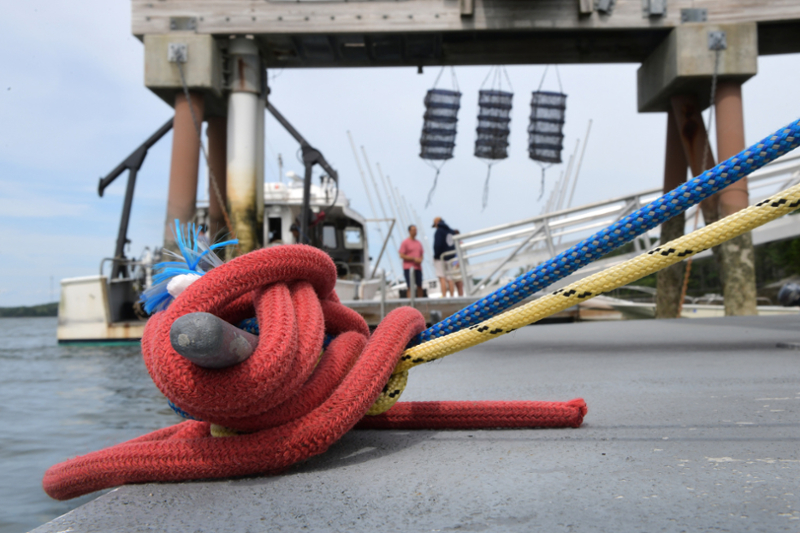
A short walk from the SCSC’s classrooms and labs is the dock, where the research vessel Ira C was moored, waiting to take students on a research cruise. Lined up dockside were more than twenty hi-tech measuring instruments, soon to be loaded on board. During the course, participants made regular trips out into Harpswell Sound to gather data.
“It’s an incredible boat,” said Roesler. “I can take eighteen students on it, plus an instructor and all the equipment.” (Teaching the class with Roesler are Emmanuel Boss and Meg Estapa from the University of Maine’s School of Marine Sciences, Ken Voss from the University of Miami, Curtis Mobley of Sequoia Scientific, and Jeremy Werdell and Ivona Cetinić from Goddard Space Flight Center.)

“We use a range of instrumentation, measuring things like water temperature, salinity, and phytoplankton concentration, all collected synchronously in the ocean. We have sensors that measure how light travels through water and how that light is absorbed and scattered. From those observations, we can infer both what is in the water and what signal is measured at the satellite. Linking those two things is the key,” said Roesler.
They also download data from Bowdoin’s research buoy that continuously monitors physical and chemical properties at the mouth of Harpswell Sound.
“The provides an invaluable resource because it places any discrete observations made from a boat in the context of what is and has been happening in Harpswell Sound over the last tide cycle, or over the last decade.”
“I’m teaching them the tools of the trade, basically, so they can collect and analyze data sets that are of sufficient quality to be used to validate satellite readings taken by NASA.”
Roesler has been involved in this class since 1987, when she took it as a graduate student. She’s been teaching it every other year for more than three decades.
“It’s a rigorous schedule and a truly immersive experience, with long days.” She described it as “education by firehose” as students have to be ready to go back and teach what they have learned to their research group when the class is finished, which this year was in mid-August.
This summer was particularly exciting for Roesler, she said, “as it’s the first time the class has been held at Bowdoin, as well as the first residential course to be held at this updated facility.”
For the previous two and a half decades the course was held at UMaine’s Darling Marine Center, but restrictions necessitated by the COVID-19 pandemic made it impossible this year. That’s when Bowdoin College stepped in and offered the Schiller Coastal Studies Center, which has just finished undergoing a major expansion.
The center now offers a 4,200-square-foot dry lab, with teaching, research, and preparation and support spaces. There is also a single-story, 4,950-square-foot Living and Learning Building to provide spaces for classes, conferences, and dining. The residential component consists of three 1,800-square-foot, six-bedroom cabins, and a 950-square-foot apartment cabin.
“The new teaching facilities provided us with the best spaces we have ever had for this course. It was a tremendous opportunity for me, my colleagues, and the students.”
“Collin’s course has clearly demonstrated the effectiveness of the Center for hosting world-class researchers training the next generation of graduate students,” said biology professor David Carlon, director of the Schiller Coastal Studies Center.
“The ability of this class to work with phytoplankton from Harpswell Sound, to run sophisticated instrumentation in our new dry lab building, and to be able to use all the modern ‘in silico’ tools of data analysis, is simply a credit to the Schiller family and to Bowdoin for bringing this marvelous resource to fruition on the edge of Casco Bay.”
Carlon also noted that the students and instructors took full advantage of the Center’s stunning location through exploration of the trails, swimming off the docks, and sailing on the Sound.
“Undertaking intellectual challenge in such a unique natural environment surely offers memorable experiences,” he continued, “and suggests our center will be a very attractive site for similar professional gatherings in the sciences and humanities.”