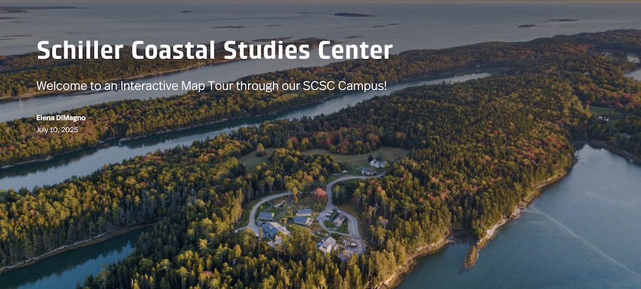
Visitors to the Harpswell campus can follow a new interactive guide to not only explore the center’s research facilities and trails, but to also find an osprey nest, a deer family’s favorite browsing ground, and a stand of historic white walnut trees.
Created over the summer by Elena DiMagno ’26, the Schiller Coastal Studies Center's Interactive Map Tour fulfills director Holly Parker's vision of creating a resource that welcomes the community and introduces them to the site's science, education, and natural history.
While Parker and her small staff enjoy answering questions from visitors, they’re not always on hand. The virtual guide helps fill in for them, offering trail distances, a history of the land, and information about current research projects, Bowdoin’s Coastal Studies Semester, staff, and upcoming events.
An Unexpected Opportunity
Building the guide wasn’t what DiMagno had originally planned for her summer. She had been preparing to work in Jackson, Wyoming, with AmeriCorps as an environmental educator and hydrology research assistant. But federal budget cuts this spring eliminated her position, and she suddenly found herself without a job in late May, when summer opportunities were scarce.
Yet just days after finding out her plans had dissolved, she was able to take advantage of an emergency fund established by Bowdoin to provide campus jobs to students affected by the cuts. “I think I was the last student to get a summer opportunity at Bowdoin!” DiMagno said. In June, she began work at Schiller as the center’s communications outreach assistant.
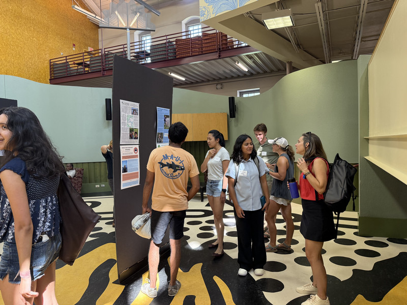
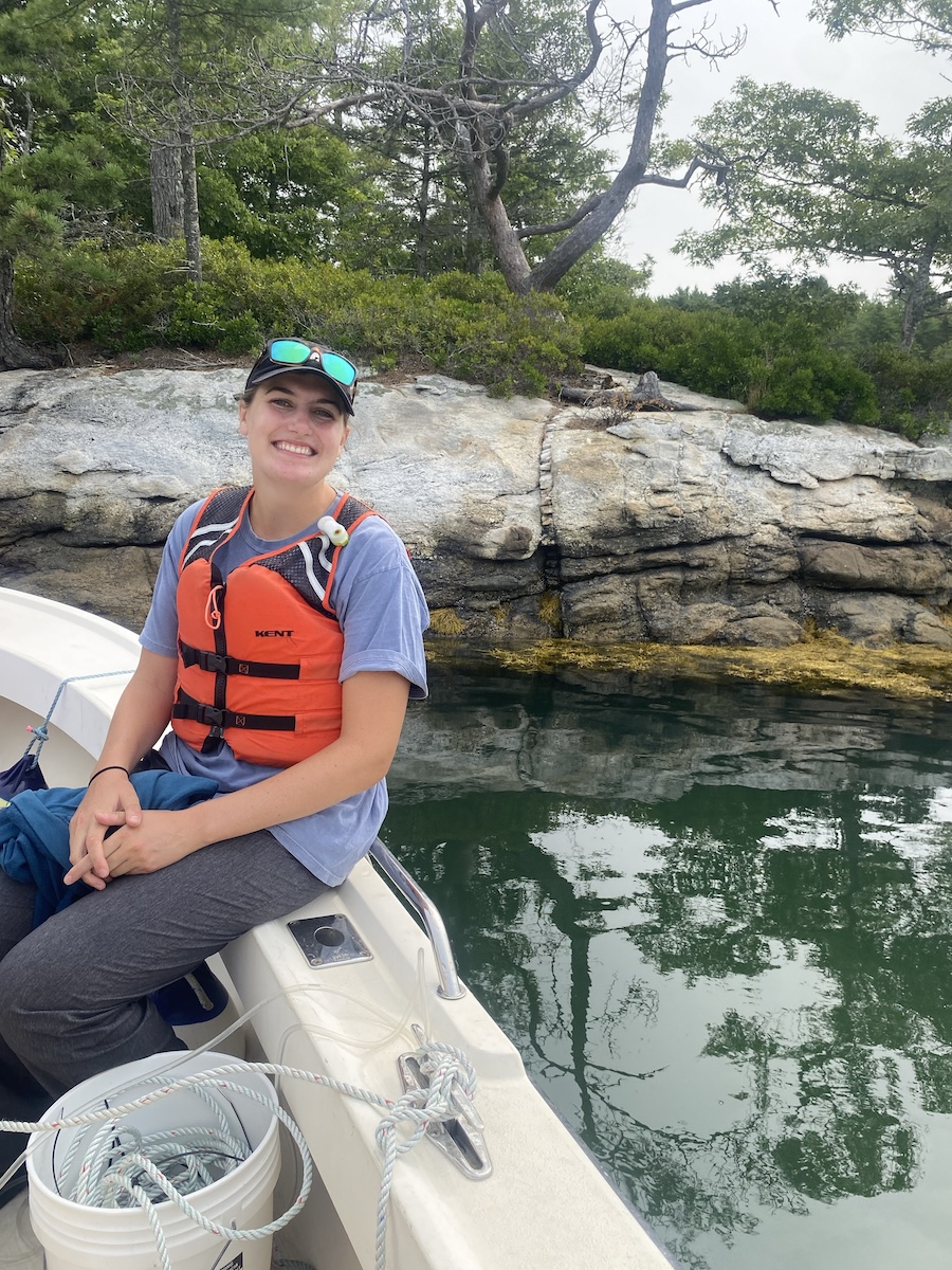
DiMagno’s primary task was to build the online map, but she also helped Parker and her team welcome visitors, including local children’s camps, librarians, and fishermen. “Holly wants to give back to the community and to have open doors at Schiller,” she said.
For Parker, bringing DiMagno on board was “a dream, since we have lots of stories to tell and lots going on.” When they began brainstorming early in the process, the two agreed the map should be more than just a trail guide. “It could tell the story of what we do here and the history of the place,” Parker said.
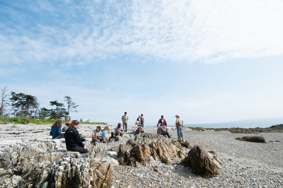
With guidance from Jennifer Snow, Bowdoin's academic technology consultant, they settled on ArcGIS StoryMaps as their platform. To gather material, DiMagno walked the trails, researched the peninsula’s history, including its Native history, and joined students on research cruises around the bay.
An earth and oceanographic science major, DiMagno said her summer experience sharpened her science communication skills. “I do a lot of research for my major, but community support—and having local impact—are important for science,” she said, adding that making science digestible to a wider audience helps those goals.
She added, “I’m very lucky. I ended up with a great group of professional mentors.”