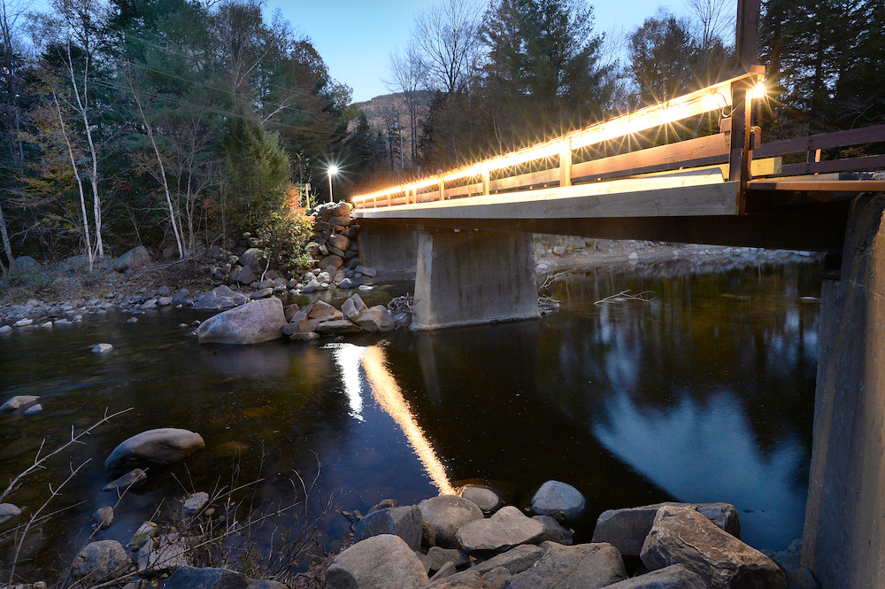
As Bowdoin junior Satya Kent ’19 steers a small motor boat down a narrow channel in Maine's largest marsh in Scarborough, her passenger, environmental scientist Peter Lea, points to the muddy banks rising up steeply on either side.
The high banks look something like a cross-section sliced from a chocolate lover's multi-layer cake: they have clear strata of deep-brown mud. "Those are essentially former editions of the salt marsh as it has been growing and keeping pace with sea level rise," explained Lea, an associate professor of earth and oceanographic science at Bowdoin. The bottom visible layers were likely formed 1,000 to 2,000 years ago.
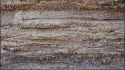
These stratified mud banks reveal the slow process of marsh creation over the past 5,000 to 7,000 years. In this time period, sea levels have been incrementally rising, mainly as gigantic ice sheets have melted in warming temperatures. Meanwhile, as sediment has flowed into and out of the marsh's channels, propelled by ocean tides, soil has gradually built up to support salt-hardy marsh grasses.
But the sea's steady rise began to tick sharply up, starting around 100 to 150 years ago, when humans started burning fossil fuels. That rise will only accelerate in the coming years. Scientists predict that by 2100, sea-level will be three feet above current levels, at least.
"This will be new territory for the marsh," Lea said ."We've seen the marsh keeping up so far — is it enough to keep up?...Or will sea-level rise drown the marsh in place?"
This summer, Lea and Kent, who has a Rusack Coastal Studies Fellowship from Bowdoin to work on the marsh sediment project, have set up a research station in the 2,200-acre Scarborough Marsh. Creating a transect across the channel, they've set a number of probes and sensors to take measurements of the marsh's tidal dynamics and sediment flow. "We're taking an instrument-heavy approach to determining sediment flux," Kent said. "We're measuring every minute," Lea added.
In the coming months, they'll likely move their transect station to different channels in the marsh, "to see what's different and what's the same," Lea said.


Eventually, with the data they will have collected, they will forecast whether the marsh, after thriving for approximately 5,000 years, can survive the coming acceleration of climate change.
What is at stake is a unique habitat, home to many species of birds, animals, and plants. Salt marshes provide a relatively gentle place for juvenile fish to grow. They trap and store carbon, and they also dampen ocean surges during fierce storms, when waves tear into the coast. "Salt marshes can protect against storms," Kent said. "They're like a sponge, they absorb water."
Because this is the first season of their study, Lea and Kent have been experimenting with their research set-up. They've set up a transect at a particular spot in the marsh, in a major tidal channel, to monitor factors like water velocity, salinity, temperature, height, and turbidity (or water murkiness, caused by its sediment content). They've also set up a rain gauge, an air thermometer, and a current reader.
Kent said it's important to study all the dynamics at play in the marsh. "Because sediment is impacted by so many things...it's important for us to get a handle of how things work," she added.
As humans face a daunting future of climate change and rising seas, Lea is realistic about the likelihood that officials would come to the rescue of a salt marsh if, meanwhile, big cities are being inundated by floods. But, he added, "knowing what we're dealing with is helpful, and the earlier you can make decisions, the better off you are in the long run."