These maps are intended to help orient visitors to the historical eras and geographical spaces encountered in this exhibition. They offer a good grounding in some of the cities and regions which were important centers of artistic production and trade at certain points during the long period of the Middle Ages, from about 500 to about 1500 CE.
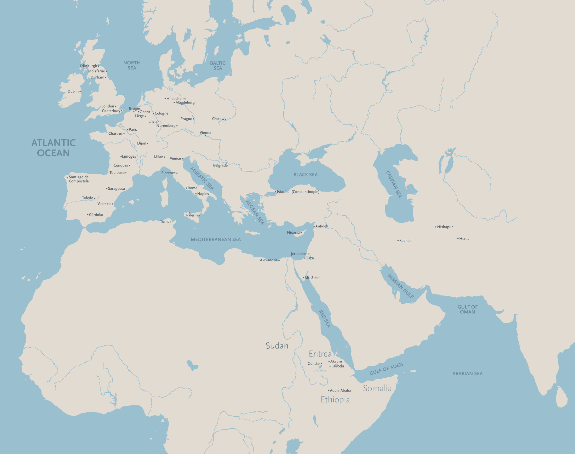
Regions and Cities in the Medieval Period
The cities highlighted on this map represent some of the most important centers of artistic production, consumption, and influence during this period in the regions relevant this exhibition: Western Europe, the eastern Mediterranean, Islamic central and western Asia, and the medieval Empire of Ethiopia.
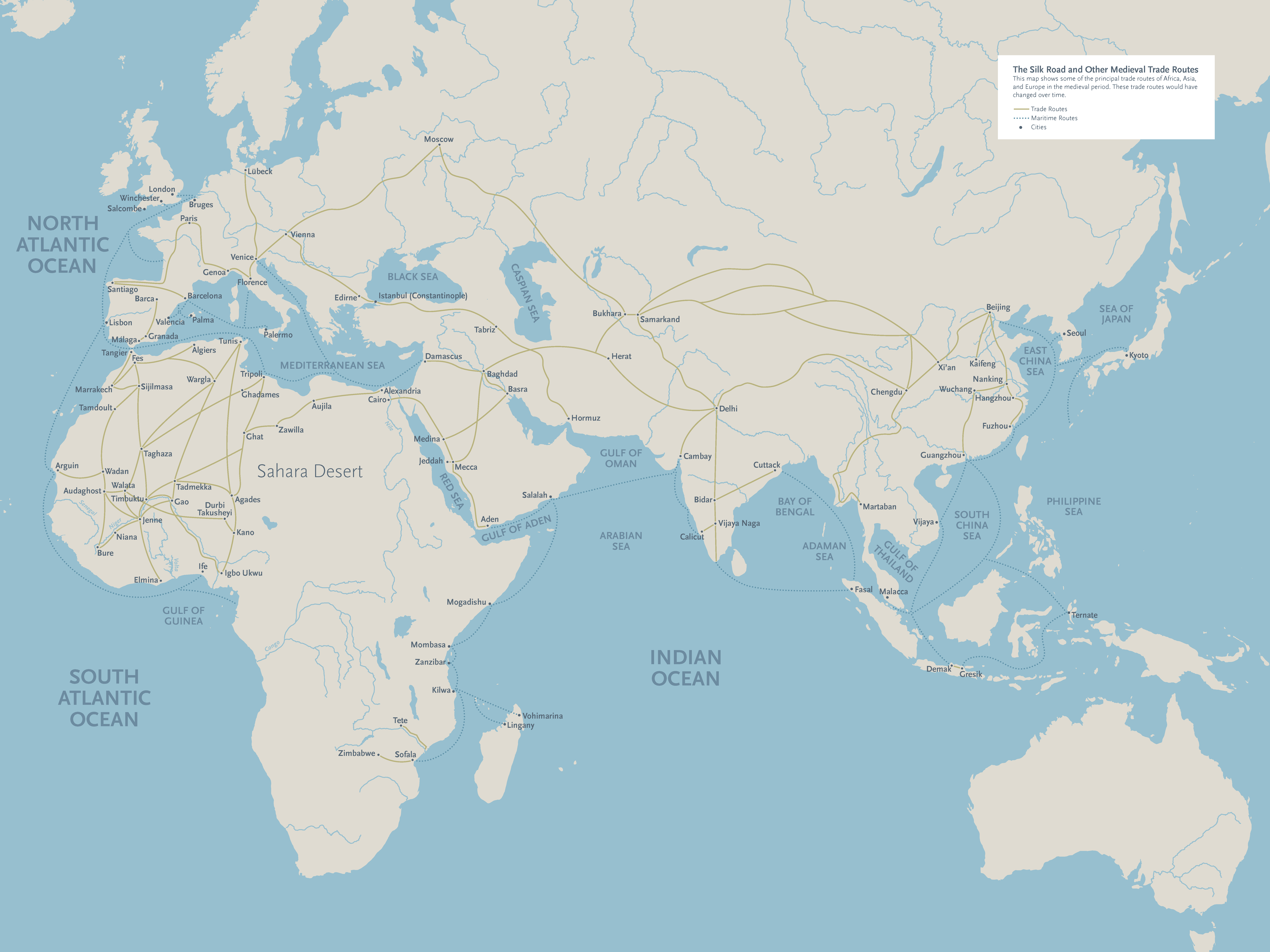
The Silk Road and Other Medieval Trade Routes
The term ‘medieval’ has long been applied only to Europe, but in the last few decades people have increasingly come to see Europe as part of a series of interconnected networks, created by the travel of ideas, objects, and knowledge as people traded goods, undertook religious pilgrimages, went to war with each other, and migrated to find a better life someplace else.