Creating Layers
A layer is a collection of similar data, or a "slice" of a map. Roads and streams are 2 examples of layers. In your map document, you can customize the way layers appear w/o modifying the original data. You can then save these properties as a layer file (.lyr) so that when you open the layer file, it will display in the way you customized it. This is particularly useful for class assignments where everyone in the class is working from the same dataset.
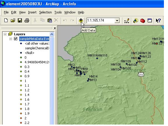
Open ArcMap and add desired data that you wish to add to this layer. For example, add a picture or shape file (If you add a picture you will have to georeference it before you can export it as a layer. Most shapefiles should not need to be georeferenced.).
Once you have the file situated and displayed as you would like right click on the file that you want to export in the Display section, select Save As Layer File and navigate to where you'd like it saved.
If the original data is not in a shapefile, you can also export the data as a shape file by clicking Data, Export Data