Introduction to Using the CBGIS Database
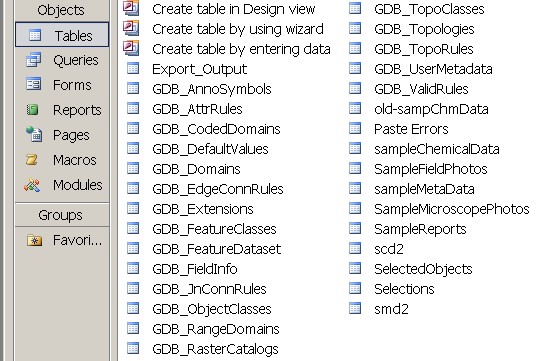
The CBGIS database has been created by adding geochemical data from rock samples in the greater Casco Bay region. This database provides a single repository for field photos, metadata, chemical data, microscope photos and reports for each sample. This data needs to be added and accessed in a consistent way to get reliable results. This section of the website is designed to help you add data to the database; link the data with photos, and move updated data into a form that is usable by ArcGIS.
- IMPORTANT: Backing Up the Database
- Adding Photos
- Adding Geochemical Data
- Adding Data from the Field
- MS Access Official Website
- Moving Data to ArcGIS
