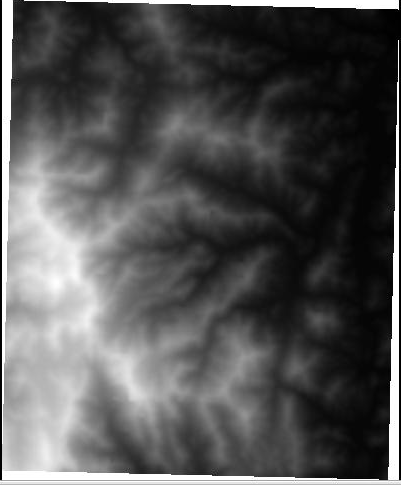
The goal of this project is to create a tool for visualization and basic flow modeling of grid datasets. The required functionality is to visualize a grid dataset in 3D and compute flow direction and flow accumulation of a grid dataset.

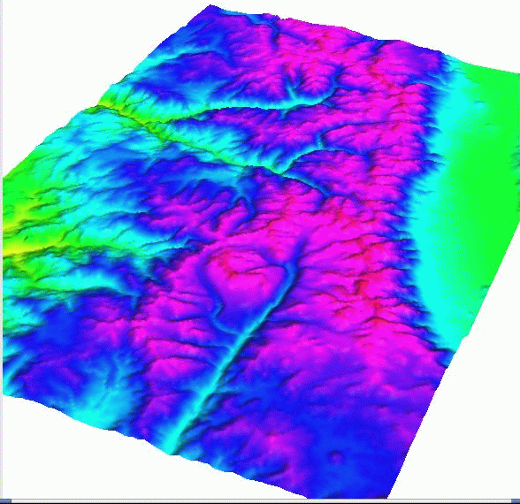
Additionally, if invoked with a second grid as argument, the
visualization routine should display the second grid (the color grid)
draped on top of the first grid (the surface grid). This functionality
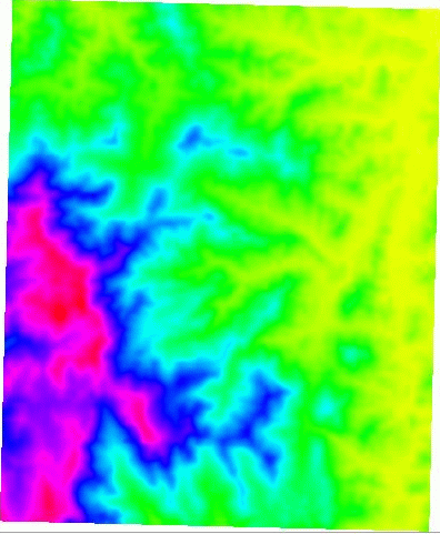
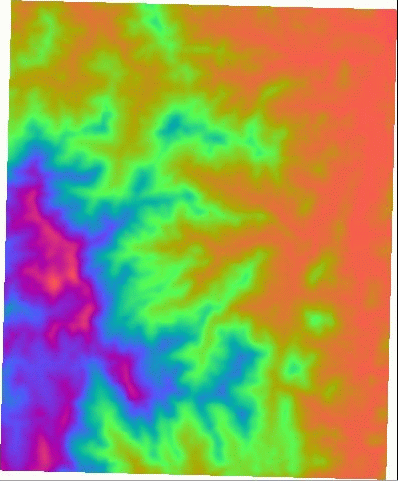
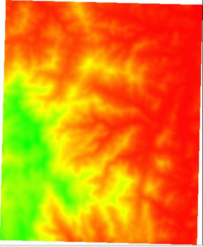
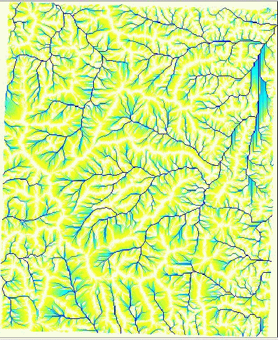
is useful for viewing terrain attributes like flow direction and flow
accumulation draped on top of the elevation. Here is an example of
flow accumulation of a terrain drawn on top of the elevation:

The interface is open-ended, but ideally the user would be able to perform any combination of these commands on any grid dataset. For instance:
cslab20: > MyGis
..Starting MyGis program.
MyGis> help
..Usage:
display surf=<grid-name> [col=<grid-name>]
computeFD elev=< grid-name> dir=<grid-name>
computeFA dir=< grid-name> accu=<grid-name>
help
exit
MyGis> display
..usage: display surf=<grid-name> [col=<grid-name>]
MyGis> display surf=set1.asc
..Displaying set1.asc
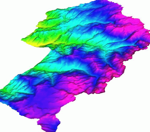
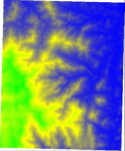
MyGis> display surf=kaweah.asc
..Displaying kaweah.asc
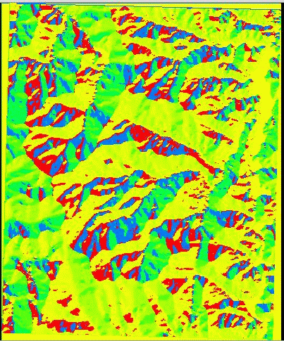
MyGis> computeFD elev=kaweah.asc dir=kaweahFD.asc
..Computing FD for kaweah.asc
MyGis> display surf=kaweahFD.asc
..Displaying kaweahFD.asc
MyGis> display surf=kaweah.asc col=kaweahFD.asc
..Displaying kaweahFD.asc draped over kaweah.asc
MyGis> computeFA dir=kaweahFD.asc accu=kaweahFA.asc
...Computing FA for kaweah.asc
MyGis> display surf=kaweah.asc col=kaweahFA.asc
..Displaying kaweahFA.asc draped over kaweah.asc
MyGis> display surf=kaweahFD.asc col=kaweah.asc
..Displaying kaweah.asc draped over kaweahFD.asc
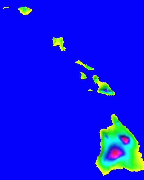
MyGis> display surf=sierra.asc
..Displaying sierra.asc
MyGis> exit
..Exiting. Bye.
cslab20: